
Uraman Takht
Kurdistan · IRAN DIGITAL WALL
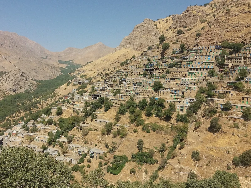
Look across Uraman Takht and the hillside becomes part of the village plan: buildings rise in steps, while cultivated terraces fit into the limited ground between mountain slopes. The wider Hawraman landscape includes dry-stone gardens and routes used for seasonal migration. Together, these features explain the long relationship between Hawrami communities and a demanding terrain, recognised by UNESCO. A visit is most rewarding when attention moves between the settlement and its surroundings; the stonework and paths make the adaptation visible, rather than leaving it as an abstract story about mountain life.
Back to province